Santa Marta, an agricultural holding located between the towns of La Roda, Munera and Villarrobledo, is an emblematic estate in the province of Albacete (Spain). The geographic coordinates of its offices are 39°09′53″ N, 2°18′52″ W.
The estate comprises 4,700 hectares of arable land, interspersed with typically Mediterranean woodland. Both irrigated and rainfed areas coexist, where a wide variety of crops are grown, including cereals and legumes, forage crops, aromatic plants for industrial use, poppy, as well as vegetables and woody crops such as almond and pistachio trees.
Its farming approach is based on the implementation of a soil conservation plan, which includes direct drilling techniques, thereby promoting soil care through minimal tillage. In addition, strict control of fertilisers and agrochemicals is applied, together with efficient water resource management, all of which is supported by a constant commitment to the integrated management of natural resources.
The terrain is generally flat, with gently sloping hills. The low woodland is characteristically La Mancha Mediterranean scrubland, featuring centuries-old holm oaks, kermes oaks, rosemary, thyme, esparto grass and broom, interspersed with cereal and legume fields.
Both owners and workers are strongly committed to environmental protection and the fight against deforestation, regarded as a key tool in addressing climate change. To this end, several reforestation projects have been carried out on the farm.
Santa Marta is a member of the European Landowners’ Organization (E.L.O.) and has been awarded the WILDLIFE ESTATES recognition for excellence in wildlife management, conservation and the promotion of biodiversity in the area.
Santa Marta, an agricultural holding located between the towns of La Roda, Munera and Villarrobledo, is an emblematic estate in the province of Albacete (Spain). The geographic coordinates of its offices are 39°09′53″ N, 2°18′52″ W.
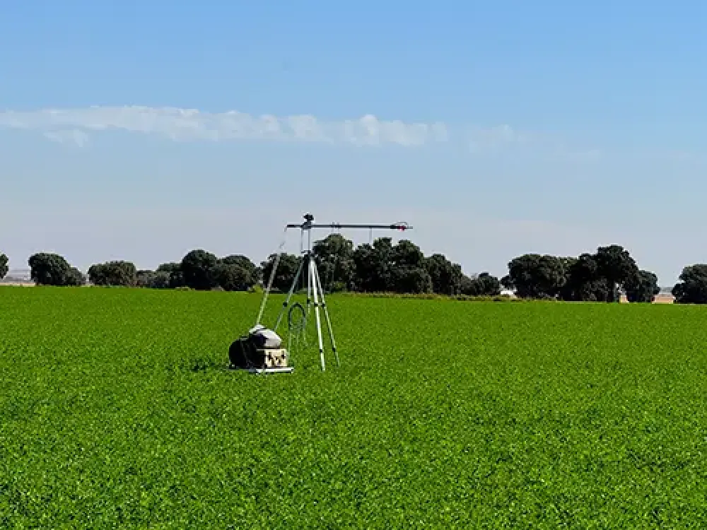
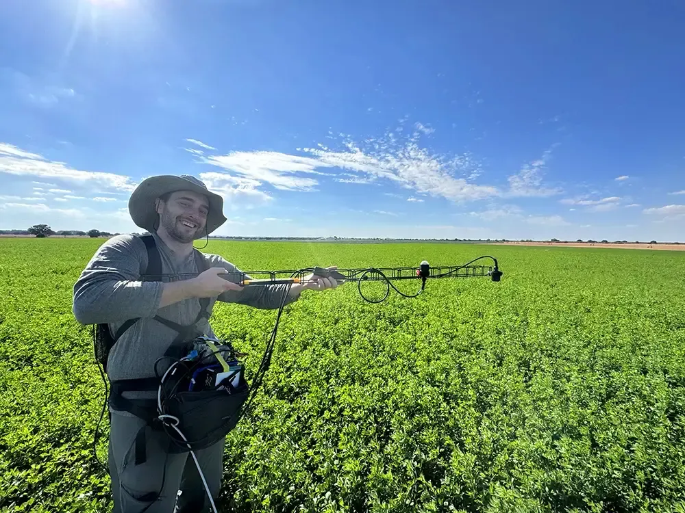
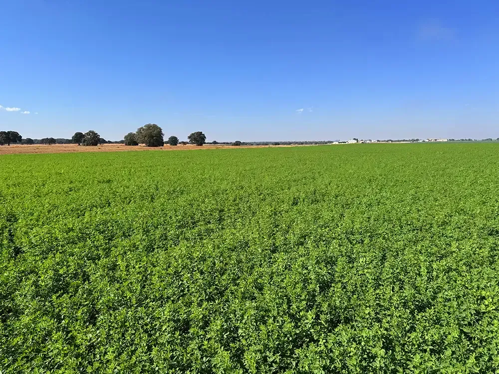
The estate comprises 4,700 hectares of arable land, interspersed with typically Mediterranean woodland. Both irrigated and rainfed areas coexist, where a wide variety of crops are grown, including cereals and legumes, forage crops, aromatic plants for industrial use, poppy, as well as vegetables and woody crops such as almond and pistachio trees.
Its farming approach is based on the implementation of a soil conservation plan, which includes direct drilling techniques, thereby promoting soil care through minimal tillage. In addition, strict control of fertilisers and agrochemicals is applied, together with efficient water resource management, all of which is supported by a constant commitment to the integrated management of natural resources.
The terrain is generally flat, with gently sloping hills. The low woodland is characteristically La Mancha Mediterranean scrubland, featuring centuries-old holm oaks, kermes oaks, rosemary, thyme, esparto grass and broom, interspersed with cereal and legume fields.
Both owners and workers are strongly committed to environmental protection and the fight against deforestation, regarded as a key tool in addressing climate change. To this end, several reforestation projects have been carried out on the farm.
Santa Marta is a member of the European Landowners’ Organization (E.L.O.) and has been awarded the WILDLIFE ESTATES recognition for excellence in wildlife management, conservation and the promotion of biodiversity in the area.